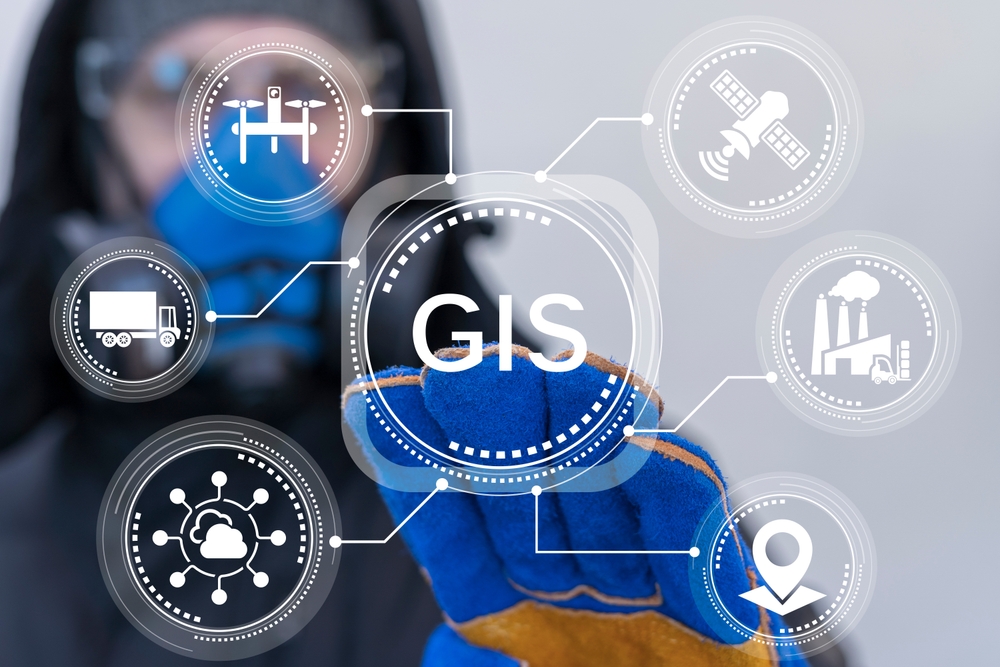
In the ever-evolving technological landscape, digital mapping has transcended its conventional role as a mere navigation tool, emerging as a cornerstone of intelligent spatial analytics and geospatial applications. Maps APIs are no longer confined to route optimization but now serve as versatile platforms for integrating advanced computational models, real-time data processing, and predictive analytics.
This article delves into the latest advancements in Maps API technology, highlighting their profound implications for urban mobility, smart cities, and the broader digital ecosystem.
The Synergy of Artificial Intelligence and Machine Learning
The advent of Artificial Intelligence (AI) and Machine Learning (ML) has redefined the capabilities of geospatial systems, enabling them to process vast datasets in real-time and enhance spatial decision-making.
Contemporary Maps APIs leverage AI-driven algorithms to:
Predict traffic congestion based on historical and real-time data streams
Optimize routing solutions dynamically, adapting to fluctuating road conditions
Personalize user experiences, refining navigation based on behavioral patterns and travel history
For instance, Google Maps employs deep learning models to anticipate traffic density by analyzing real-time sensor data, user movement patterns, and meteorological conditions. In scenarios of severe congestion, AI-powered navigation systems can autonomously recalculate optimal routes, ensuring uninterrupted travel efficiency.
The Convergence of 3D Mapping and Augmented Reality (AR)
The integration of three-dimensional cartography and Augmented Reality (AR) represents a paradigm shift in digital mapping, enabling immersive spatial interactions.
Traditional two-dimensional maps, while functional, often lack contextual depth and spatial relatability. In contrast, 3D-rendered cartographic solutions enhance user engagement by:
Simulating real-world topography with high-fidelity spatial modeling
Facilitating precise navigation through visually enriched urban landscapes
Enhancing wayfinding accuracy with interactive AR overlays

A compelling example is Mapbox’s 3D mapping engine, which provides high-resolution, real-time urban visualizations. Mapbox AR Navigation, for instance, employs augmented reality markers and virtual pathfinding cues, guiding users with intuitive visual aids in complex metropolitan environments.
Integrating Environmental and Meteorological Intelligence
A significant breakthrough in modern geospatial analytics is the seamless integration of environmental and weather datasets into mapping frameworks. This advancement empowers real-time spatial intelligence, offering users granular insights into road conditions, climate variability, and natural hazard assessments.
OpenWeatherMap’s Weather API, for instance, integrates with digital mapping systems to:
Overlay real-time meteorological data onto interactive maps
Provide hyperlocal weather forecasting, enhancing travel planning accuracy
Issue environmental alerts for extreme weather conditions, ensuring user safety
By embedding climate-aware routing algorithms, mapping applications can now recommend safer, more efficient travel pathways while mitigating risks posed by adverse environmental factors.
Leveraging IoT for Enhanced Spatial Intelligence
The proliferation of Internet of Things (IoT) infrastructure has significantly augmented the functionality of Maps APIs, enabling real-time data acquisition from a multitude of interconnected sensors, vehicles, and smart devices.
By integrating IoT-driven geospatial intelligence, mapping systems can:
Synthesize real-time vehicular telemetry for enhanced traffic management
Monitor urban air quality by interfacing with environmental sensor networks
Facilitate dynamic geofencing for adaptive traffic control and smart city applications
For example, connected vehicle ecosystems leverage IoT-powered data streams to deliver instantaneous traffic insights, allowing navigation systems to proactively adjust routing recommendations based on real-time congestion levels.
Conclusion
The rapid evolution of Maps API technology is fundamentally reshaping spatial intelligence, bridging the gap between human mobility, digital ecosystems, and real-time data processing.
By integrating Artificial Intelligence, Augmented Reality, Environmental Analytics, and IoT-driven insights, modern Maps APIs have transcended their traditional navigational role to become critical enablers of smart mobility and geospatial innovation.
As leading API providers in Vietnam, such as MapFusion, spearhead advancements in geospatial computing, the potential applications of cutting-edge digital mapping solutions continue to expand, fostering a future of hyper-connected, data-driven spatial ecosystems.
Are you ready to harness the power of next-generation Maps APIs?
Sign up for MapFusion today and experience the future of geospatial intelligence.