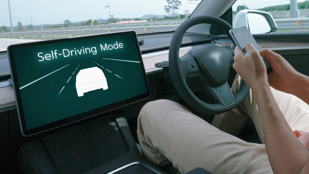
The MapFusion Map allows carmakers to equip their vehicles with precise, up-to-date maps that significantly expand the roads that autopilot systems can navigate. It achieves this by collecting data in higher volumes and at a higher frequency than other providers, so that the Map covers more roads and is updated daily by streaming changes to vehicles in real time.

WHY VEHICLES NEED ADVANCED DATA
Let’s first provide some context for why these maps matter. Simply put, sensors alone do not provide enough data for autonomous driving. Modern autopilot systems rely extensively on maps to tell them what in-vehicle sensors alone cannot. Highly detailed and up-to-date map data is critical to supplement in-vehicle sensors, for example when weather impairs visibility or obstructions block sensors altogether. This complimentary system is important both for advanced awareness of the road network, to anticipate tight turns and stop signs, and for autopilot systems to know where they are in context of the broader road network and the maneuvers needed to reach their destination.
Given the importance of map data, it is surprising how often existing sources struggle to meet carmakers’ and drivers’ needs. Here’s why: traditional “high-definition” (HD) maps rely on expensive fleets of survey vehicles to manually map road networks, which focus on major highways. This time- and resource-intensive mapping process results in slow data updates (on the order of once every one to six months). This outdated road information further exacerbates the coverage problem because carmakers are forced to disable autopilot on roads with stale data.
THE AUTOPILOT MAP
The MapFusion Autopilot Map takes a more scalable approach to road data collection by enabling ordinary sensor-equipped vehicles to share changes that they detect back to MapFusion . When enough vehicles detect a change, a consensus is reached, and the change undergoes review and integration into the Autopilot Map. The update is then instantly streamed to vehicles as a bandwidth-efficient update that only includes the data that changed.
The Autopilot Map has better data coverage because everyday vehicles travel over diverse road types, not only highways or high-traffic areas. It is also more up-to-date because the same vehicles drive over roads all the time, often multiple times per day. Updates are immediately streamed to vehicles in real time as delta updates —small data patches instead of a complete download of the entire map from scratch, which saves on bandwidth costs for automakers too.
AI-ENHANCED ACCURACY AND INSIGHTS
The MapFusion approach relies on crowd-sourcing data, leveraging volume and frequency of data over the accuracy of a slow survey vehicle fleet. The Autopilot Map provides vehicle systems with detailed map information about physical road features such as road edges, lanes, and traffic control devices at 20 cm relative accuracy—or about the length of a smartphone.
The Autopilot Map also contains information about optimal driving paths in locations that lack physical cues such as lane markings, for example roundabouts and complex intersections. This “behavioral” layer is built using information from the aggregated movement patterns of millions of drivers and adds additional guidance for autopilot systems in complicated driving scenarios, such as performing unprotected turns. As a result, the MapFusion Autopilot Map will reduce the number of locations where autopilots get confused or simply stop working when relying on in-vehicle sensors alone.
BUILD WITH THE MAPFUSION AUTOPILOT MAP
Combining the capabilities of AI with data from millions of distributed vehicle sensors, the MapFusion Autopilot Map enables both higher quality and higher coverage autopilot capabilities. By equipping vehicles with precise map data that is dynamically updated to reflect the latest road conditions, the Autopilot Map helps to reduce autopilot errors and enhance driver confidence in autopilot systems across all road classes.
The MapFusion Map is currently available to select customers for access in Western Europe and North America.
For further details and access to MapFusion Autopilot Map, please contact the MapFusion automotive team.
